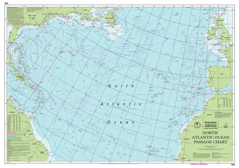
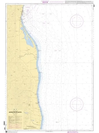
Descrizione
Scala: 1:7.620.000
- Conical projection – Great Circle routes are plotted as straight lines
- Routes: westwards to the Caribbean and the eastern seaboard of the United States; eastwards to Europe
- Ice limits
- Currents
Notes inside include:
- Pilot charts showing winds, currents and wave height frequencies
- Notes and recommendations on routes
- Information on hurricane risk
Recensioni
Ancora non ci sono recensioni.