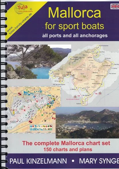
Descrizione
– 2 large scale charts of the Balearic Islands
– 1 large scale chart of Mallorca 1:740.000
– 1 large scale chart of Mallorca with GPS waypoints
– 15 large scale charts of Mallorca´s coastline 1:85.000
– More than 120 detailed plans of the ports, bays and anchorages around Mallorca.
– Notes about weather in the Balearics and anchoring properly
Cm 21×29
Edition: 2017


Recensioni
Ancora non ci sono recensioni.